Product News
Baden-Württemberg and Rheinland-Pfalz now available
Finally: Baden-Württemberg and Rhineland-Palatinate are now also making their geodata available as OpenData and we can finally include them in our services.
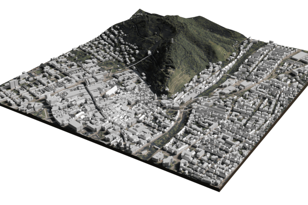
Save hours of drawing and time-consuming file conversions.

Ready for import into your CAD software
We bundle geodata from over 30 different sources into one easy-to-use tool.
File formats for every application
We combine and convert the data from different sources into all common file formats.
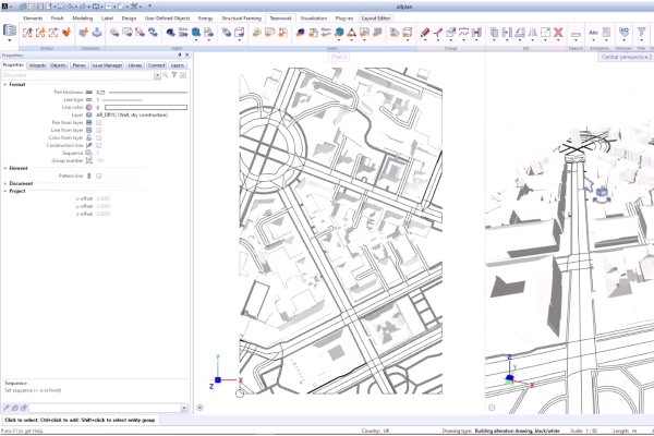
Files in the popular DXF format can be easily imported and processed in all common CAD systems. Our DXF exports contain both 3D and 2D features clearly structured in different layers.
The OBJ format has established itself as a universal format for the exchange of 3D models. It supports groupings and textures that we also use in the export.
These exports are best suited for 3D printing. However, textures or groupings are not supported.
Product and industry news.

Product News
Finally: Baden-Württemberg and Rhineland-Palatinate are now also making their geodata available as OpenData and we can finally include them in our services.

Product News
Coverage
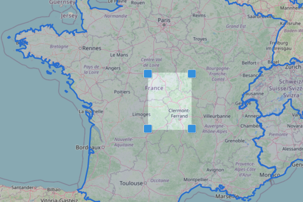
We are pleased to announce an exciting addition to our offering: New, high-quality geodata is now available for France! This includes RGE ALTI 1m, BD TOPO LoD1 buildings and cadastral dat...

Product News
In the age of digitalization and Building Information Modeling (BIM), efficient and precise tools for architectural and urban planning are indispensable. Allplan, a leading software solution in ...
Your question is not answered here? Please just get in touch.